A New Nation: A Plan of Boston

지금 보고 있는 영상
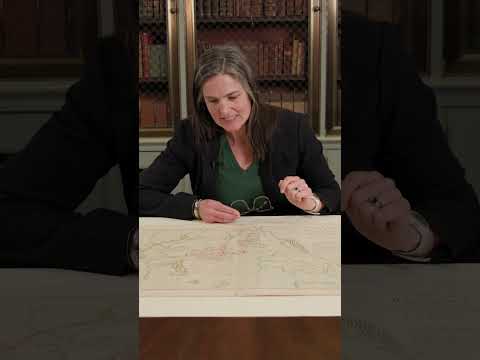
A New Nation: A Plan of Boston
조회수 7,946
영상 설명 · 눌러서 펼치기
Molly Taylor-Polesky, Map Librarian of the Harvard Map Collection, explores A Plan of Boston and its Environs, a Revolutionary-era map drawn in October 1775 by British lieutenant Richard Williams while he was stationed in Boston. The map captures a pivotal moment in the early American Revolution, showing a city almost completely surrounded by water, connected to the mainland by a narrow strip of land, and transformed by military occupation.
Through Williams’s labels and design choices, the map also reveals a British perspective on the conflict, distinguishing between fortifications built by “his majesty’s troops” and those “thrown up by the rebels.”
The map is featured in War of Words, an exhibition at Houghton Library exploring the printed materials that shaped the American Revolution. The exhibition is free and open to the public. Learn more at library.harvard.edu/exhibits/war-words.
Harvard University 다른 영상

Where did Halloween come from?
조회수 2,538

Harvard's Veritas shield
조회수 4,321

Where did Halloween come from? | Harvard Explains
조회수 9,301

Harvard Thinking: Who should take GLP-1s?
조회수 6,672

Hollis Hall
조회수 4,878

The story behind Harvard's Veritas shield
조회수 8,090

Massachusetts Hall
조회수 9,566

Wadsworth House
조회수 7,843