마운트 워터맨 새로운 루트 릿지 코스 A Different Side of Mt. Waterman Scenic Ridge Hike #북미여행 #LA근교산행

지금 보고 있는 영상

마운트 워터맨 새로운 루트 릿지 코스 A Different Side of Mt. Waterman Scenic Ridge Hike #북미여행 #LA근교산행
조회수 310
영상 설명 · 눌러서 펼치기
현재 2번 국도 Angeles Crest Highway는 도로 유실로 인해 Three Points에서 약 1.5마일 지난 지점부터 통행이 차단되어 있습니다. 따라서 Buckhorn Picnic Area에서 출발하는 기존의 마운트 워터맨 산행 코스를 이용할 수 없는데요. 대안으로 Three Points에서 출발하여 Mt. Waterman Trail을 따라 정상까지 오르는 방법이 있지만, 이 코스는 왕복 13마일로 상당히 긴 거리입니다. 하지만 사람들이 많이 이용하지 않는 능선을 경유하는 또 다른 코스가 있습니다. 이 코스는 왕복 9마일, 상승 고도 2,300피트로 거리가 짧다는 장점이 있습니다. 특히 멋진 바위들과 광활한 풍경을 감상하면서 한적한 산행을 즐길 수 있습니다.
Currently, Angeles Crest Highway (Highway 2) is closed due to road washouts about 1.5 miles past Three Points. As a result, the traditional hiking route to Mt. Waterman from Buckhorn Picnic Area is inaccessible.
One alternative is to start at Three Points and follow the Mt. Waterman Trail to the summit. However, this route is quite long, covering approximately 13 miles round trip.
Fortunately, there is another option that follows a lesser-traveled ridgeline. This route is shorter, at 9 miles round trip with 2,300 feet of elevation gain. Along the way, hikers can enjoy impressive rock formations, sweeping panoramic views, and a peaceful hiking experience away from the crowds.
Currently, Angeles Crest Highway (Highway 2) is closed due to road washouts about 1.5 miles past Three Points. As a result, the traditional hiking route to Mt. Waterman from Buckhorn Picnic Area is inaccessible.
One alternative is to start at Three Points and follow the Mt. Waterman Trail to the summit. However, this route is quite long, covering approximately 13 miles round trip.
Fortunately, there is another option that follows a lesser-traveled ridgeline. This route is shorter, at 9 miles round trip with 2,300 feet of elevation gain. Along the way, hikers can enjoy impressive rock formations, sweeping panoramic views, and a peaceful hiking experience away from the crowds.
김인호 여행작가 Ernie's Outdoor Travels 다른 영상

Hamel, the Dutchman Who Spent 13 Years in an Isolated Korea 조선에 갇힌 네덜란드인 하멜 한국에 표류하여 13년을 살다 간 이야기
조회수 380

한국의 정겨운 서민 음식들 (3) Heartwarming Korean Comfort Foods #travel #koreanfood #koreatour #맛집
조회수 181
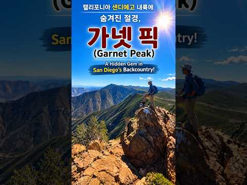
캘리포니아 샌디에고 내륙에 숨겨진 절경, 가넷 픽 Garnet Peak A Hidden Scenic Gem in San Diego’s Backcountry, California
조회수 931

가을이 아름다운 곳, 캘리포니아 비숍 Bishop, California – A Beautiful Place in Autumn #미국여행 #북미투어 #가을단풍
조회수 46,469

한국의 서민 식당에서 즐겨 먹는 정겨운 전통 음식 (2) Everyday Korean Favorites: Traditional Dishes at Local Restaurants
조회수 67,933

대둔산 산행 하늘을 걷는 듯한 짜릿한 풍경과 아름다운 절경 Hiking Daedunsan Mountain Breathtaking views and stunning scenery
조회수 528

한국에서 흔히 만나는 서민 음식들 Everyday Korean foods commonly found in Korea #food #korea
조회수 52,168

짧지만 정말 재미있는 하이킹, 애니스 캐년 A Short but Really Fun Hike: Annie’s Canyon #미국여행
조회수 51,936